


Somewhere Below Mittagstein
At some point below Mittagstein, I stopped taking photos. Right around then, I also made two important decisions: I need proper hiking boots, and I need trekking poles. Chris, just six weeks post-surgery for his double ligament tear, found the trail pleasant. I found it – how should I put it – rather adventurous.
My original plan was to scout a route for the #Lindkogeltrail, but Chris thinks the area around Baden is just for “city hikers” from Vienna, and we wanted a real hike. So, I picked a different route: Hirschwang – Mittagstein – #NaturfreundehausKnofeleben – Eng – #Waldschlössl. I had hoped to take the museum railway to Hirschwang, but our guests were running a bit late, so that wasn’t going to work. Thankfully, there’s a hiking path as well – first toward Talhofrunde, then up to Kaisersteig, and finally along the Jagdsteig to the Hirschwang junction.
⚠️ IMPORTANT: This trail is officially CLOSED until December 30, 2028 due to the 2021 wildfire. (Honestly, the hike to the junction alone would have been enough for me, but we wanted to see how Chris’s freshly stitched ligaments would hold up.)
The trail itself is beautiful, though barely marked. We relied heavily on a hiking app, which saved us more than once.
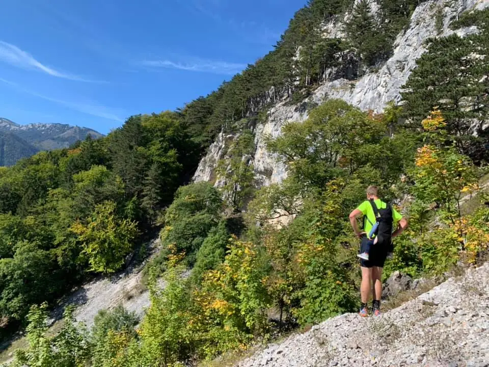
From the junction, I’d describe the route up to Mittagstein as a “via without ferrata” – let’s just say it’s a bit more than a casual hike. With trail running shoes, I’d seriously reconsider doing it again. 😅 But the views at the top are stunning and make the effort worth it.
The path to Knofeleben is quite pleasant after that. Leno was in great spirits the whole way, even though the 11 km section took us about 3.5 hours. At the Naturfreundehaus Knofeleben, I had a fantastic #glutenfree meal – a real treat when you have #celiacdisease and don’t have to worry about the menu. Everything was perfect!
From there, it took us about 1 hour 40 minutes to get back home through the Eng. All in all, a bit over 5 hours, nearly 17 km, and around 970 meters of elevation gain.