In Memory of Pascal Le Bail
One day, all that will remain are the shared experiences. The moments we lived together. Songs, scents, sounds. The memories.
May 27, 2008
My father was 54 years old when, while mowing the lawn, a sudden heart attack took him from us within seconds. One wrong move, an unexpected illness. And suddenly, everything changes.
July 20, 2024 – Saturday
Anne, a dear running friend from Vienna, wrote: “Tomorrow: Weichtalklamm, Schneeberg, Buchtelhütte and back – with Pascal.” A quick check-in with Christian – the boys were heading to St. Corona for a “guys’ day” – and I got the green light.
This tour had been on my bucket list for a long time. But I kept postponing it. On the one hand, I wasn’t sure whether it was a good idea to hike through the Weichtalklamm on my own (even though Christian put it this way: “Of course I know it – I used to RUN down that route.” 🤪)
On the other hand, such a tour requires at least half a day off. Today, everything aligned perfectly.
July 21, 2024 – Sunday
By 8:30 a.m. I was already at the bus stop in Payerbach. I was one of the last to board – the bus was full after that. Of course, Anne and Pascal were among the first. Shortly after nine, we arrived at the Weichtalhaus in the Höllental.
The gorge was breathtaking. The steep trail, the rocks, the ladders, the climbing – every step felt like it was pulling us upward with some invisible strength. It’s rare to go on a trail run or mountain hike with three people where everything just flows: no explanations, no waiting – like a well-practiced team. I have never met a more cautious and thoughtful man in the mountains than Pascal. He knew and respected the area like very few others.
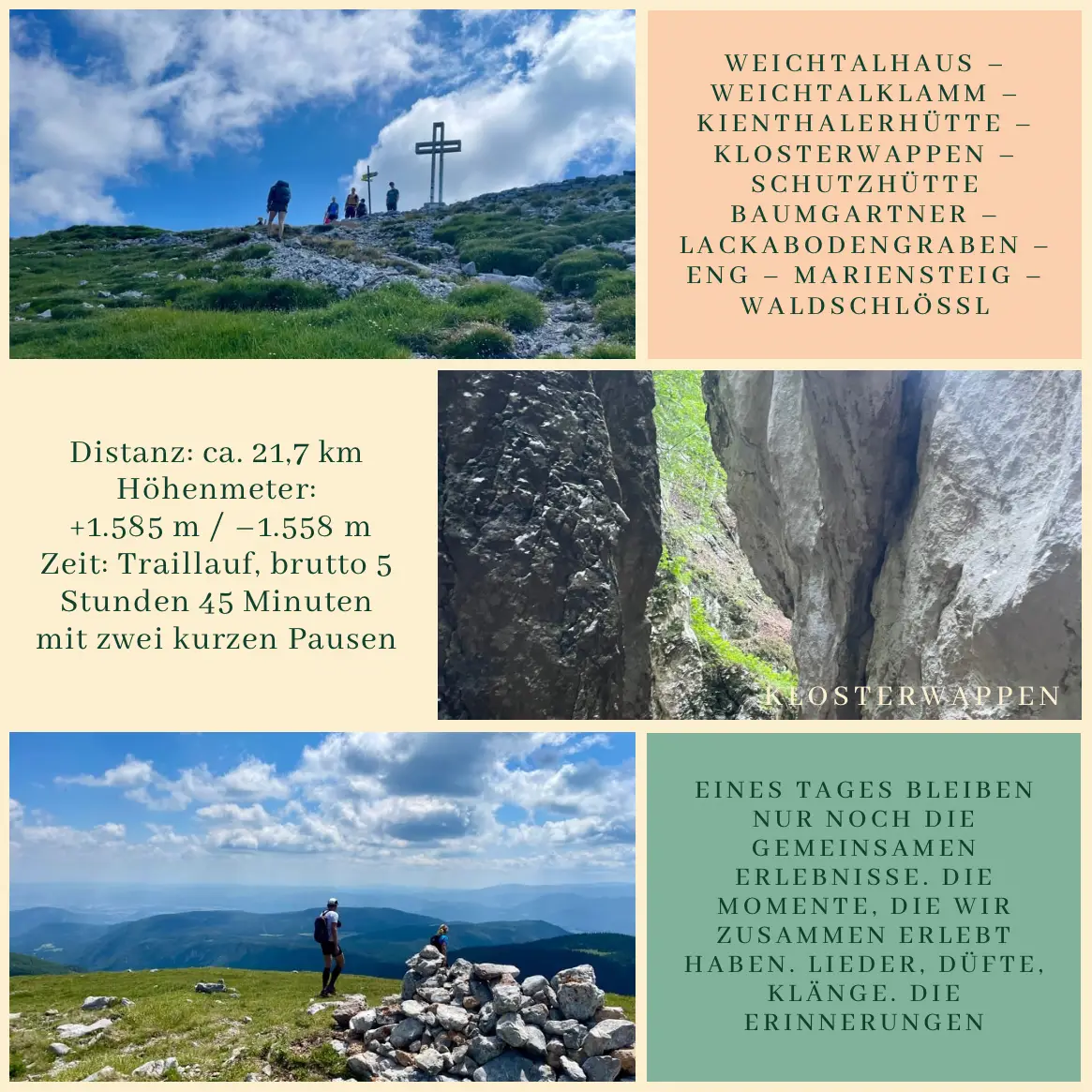
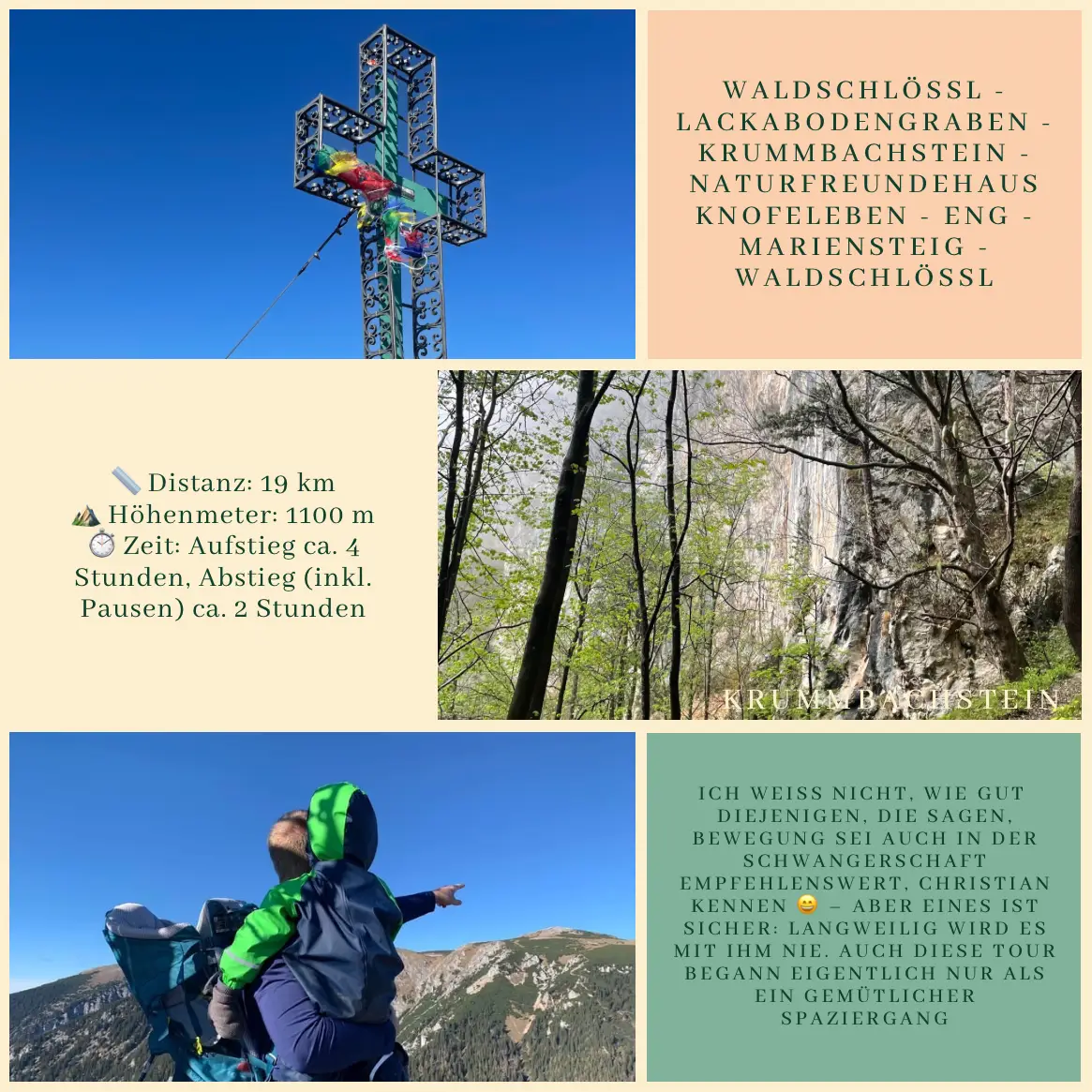
By 10:30 a.m. we reached the Kienthalerhütte, and shortly before noon we stood together at the summit of the Klosterwappen – 2,076 meters – the highest point of the Schneeberg. From there we continued quickly to the Baumgartner hut – Anne and Pascal were rewarded with a well-earned Buchtel, and I got a large elderflower juice. Just a few minutes later, we jogged on – through the Lackabodengraben, across the Eng, along the Mariensteig, and finally down to the Waldschlössl.
There are tours that are about more than just running. They are moments that etch themselves deep into memory. This day was one of them.
—
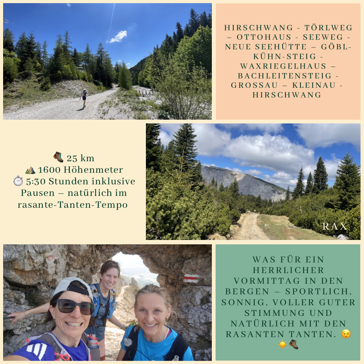
Route:
Weichtalhaus – Weichtalklamm – Kienthalerhütte – Klosterwappen – Schutzhütte Baumgartner – Lackabodengraben – Eng – Mariensteig – Waldschlössl
Distance: approx. 21.7 km
Elevation gain/loss: +1,585 m / –1,558 m
Duration: trail running, 5 hours 45 minutes total, including two short breaks
—
End of August 2024
About a month later, the news arrived:
“Hohe Wand. 54-year-old man fatally injured while climbing.”
July 21, 2024
On the trail between the Kienthalerhütte and the Klosterwappen, there is a cross. We arrived there at exactly 11:00 a.m.
We paused for a moment, taking in the view. Pascal could name every peak around us. He knew the mountains. A strange feeling came over me as we read the inscription on the cross:
“Stop and read:
What you are now, I once was.
What I am now, you shall one day be,
And you too will be covered by the same earth…”
No grand words were needed. Only the steps. The rocks. The July sunshine. The silence. The moments that remain. And the gratitude for the time shared.