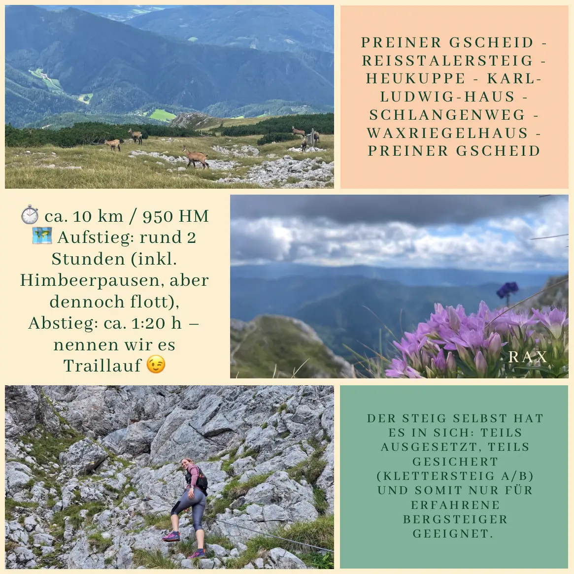
How could one spend a Sunday morning better than on the Rax? – that’s what Gina and I thought, so this time we started from the Preiner Gscheid and went straight up to the Heukuppe via the Reisstalersteig.
The trail itself is no joke: partly exposed, partly secured with ropes (via ferrata A/B), and therefore suitable only for sure-footed and experienced hikers. Without kids along, we could fully enjoy the silence, the sunshine, and the clear day. Up on the mountain, you can already feel that autumn is knocking – the air is fresh, and a chilly wind was blowing on top. 🥶
From the Heukuppe we moved on quickly down on the Schlangenweg – almost like a “Hungarian trail run” or a “Carinthian hike.” In any case, briskly downhill. At the Waxriegelhaus we treated ourselves to a little refreshment and even caught a glimpse of the celebration of Waxwirt Martin’s 15th anniversary. Congratulations and many thanks for the warm hospitality! Afterwards, the way back led us to the Preiner Gscheid – this time with some South Tyrolean company. And what counts as a comfortable hiking pace for a South Tyrolean is often called a trail run in Vienna or Hungary.
Our route: Preiner Gscheid – Reisstalersteig – Heukuppe – Karl-Ludwig-Haus – Schlangenweg – Waxriegelhaus – back to Preiner Gscheid
⏱️ Distance: about 10 km / 950 m elevation gain
🗺️ Time: ascent around 2 hours (including raspberry breaks, but brisk), descent about 1:20 h – let’s just call it trail running 😉
An all-around perfect Sunday – friends, sunshine, mountain air, and a touch of autumn.


