A deeply personal story of running addiction
There’s definitely some truth to it: once you start running, it becomes an addiction. And this addiction is contagious.
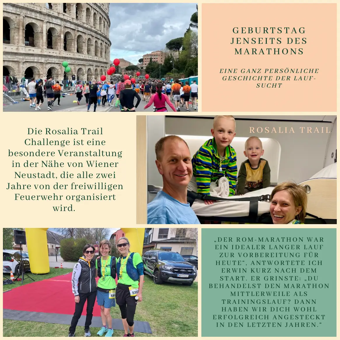
Birthday Wishes
I had a milestone birthday in February. And what could I have wished for more than a running vacation? Edit chose the destination: Rome. When I told Gina, she just laughed: “I’ve been signed up for ages. Josef, Erwin, Richi, and Barbara are coming too.” And she wasn’t joking.
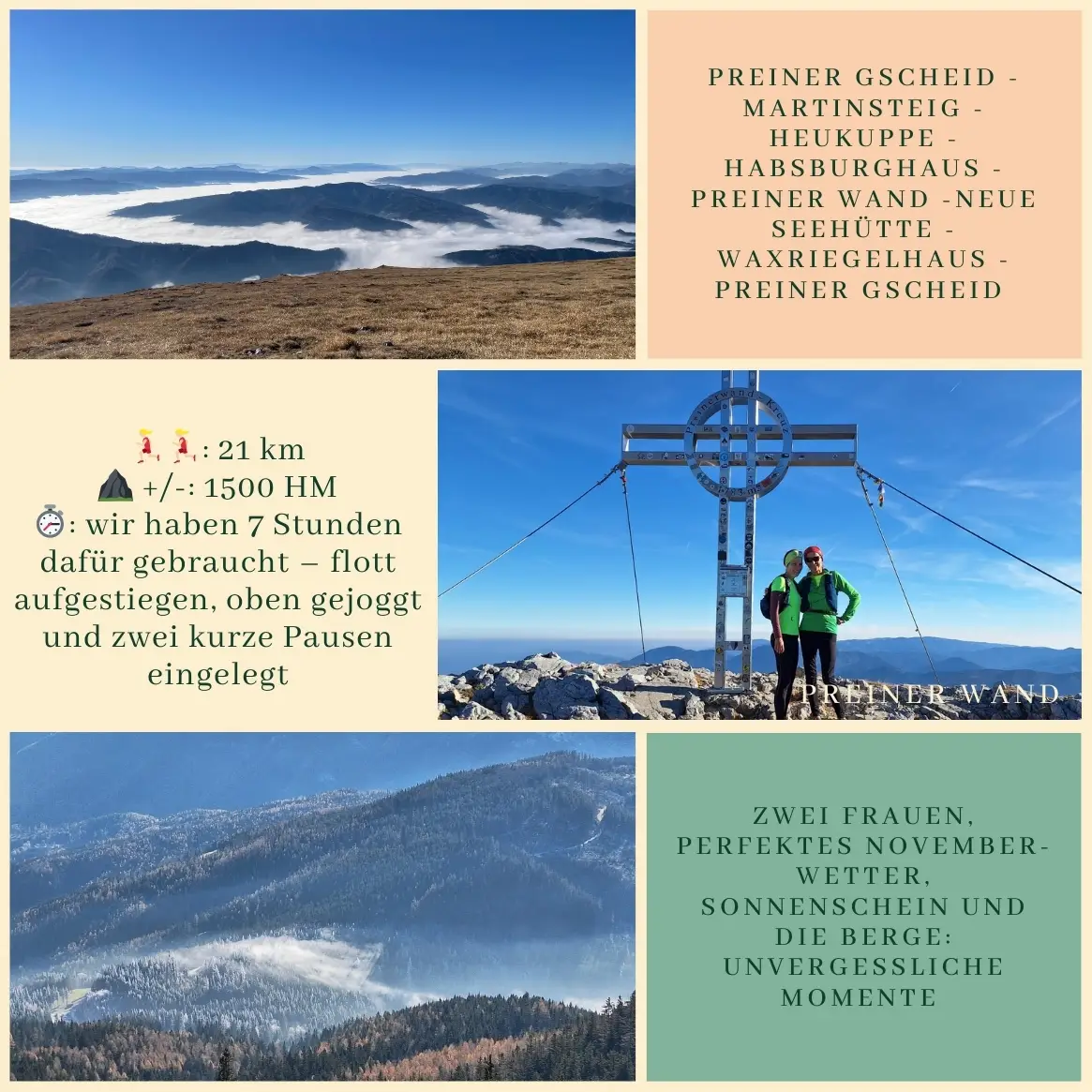
Since there was no half marathon in Rome, Edit, Évi, and I signed up for the full 42 km back in the fall. “If you can do a half, you can do the full…” I tried to motivate the ladies. What I didn’t mention at home was that Rome wasn’t the final stop for me. Three weeks later, I was planning to run a trail race—an ultra trail, to be precise—one that had been on my mind for a while: 53 km with 1,500 meters of elevation, near Wiener Neustadt. To make sure no one could talk me out of it, I signed up right away. And just like that, my birthday party was set.
Which is how we ended up celebrating Christian’s birthday (in March) in Rome. I celebrated with a marathon. Christian celebrated by enjoying a long weekend off work with all of us 🤭.
The Guest List
The most important prep step was probably getting through the winter without any major illnesses—largely thanks to our neighbors Karin and Grandpa Christian.
In recent months, it had become a tradition on our days off (thanks, Christian!) to explore new routes with a lovely women’s group: Anne, Gina, and Katja. You could call it a “girls run”—if we weren’t all between 40 and 61. Évi and Edit and I mostly motivated each other online.
Rome and the Marathon as Endurance Training
The marathon weekend was beautiful, even though the kids already had colds when we boarded the train—and once again, the railway wasn’t exactly winning any punctuality awards. We bumped into many familiar faces—some just for a quick hello, others we had time to catch up with over walks or dinner. Évi and I ran about 20 km of the marathon together.
The Final Training Push
Back home, it was time for the finishing touches: a training camp with Auntie Dunja (others might call it a kid-friendly thermal hotel), a family hike with extra weight (aka hiking with kids) with Nana and her friends, a last-minute patch job on my running pack by my sister Gabi, and Christian’s parents took over full weekend responsibility for our two children (also known as happy kids, happy grandparents).
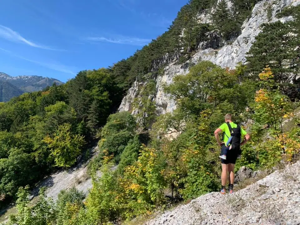
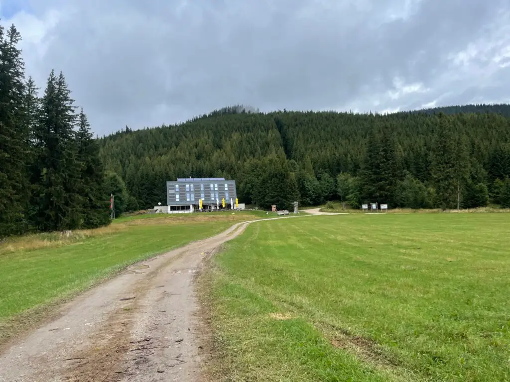
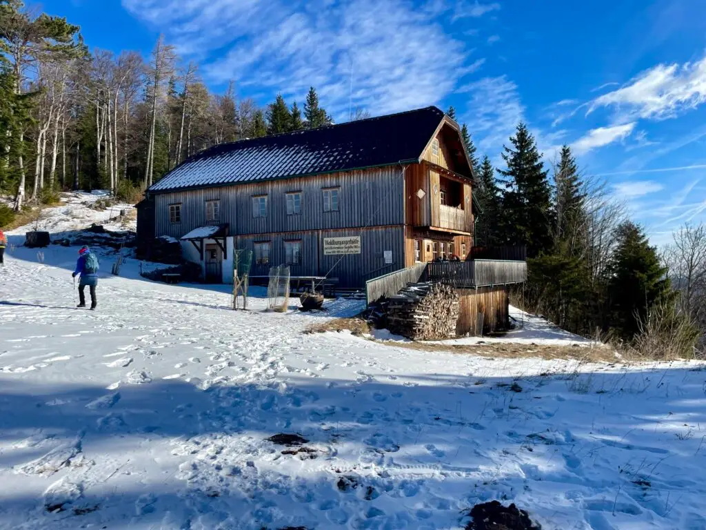
Let the Party Begin: Rosalia Trail Challenge
We waited for the start inside a warm building with others from our club (ULT Heustadlwasser). Kata was there too—without her, I might never have understood or even tried trail running. My experienced support crew, Zita and Ági, were following the event live from Hungary, sending updates by the hour.
We waited for the start inside a warm building with others from our club (ULT Heustadlwasser). Kata was there too—without her, I might never have understood or even tried trail running. My experienced support crew, Zita and Ági, were following the event live from Hungary, sending updates by the hour.
And We’re Off!
“The Rome marathon was the perfect long training run for today,” I told Erwin shortly after the start. He grinned: “You’re calling a marathon a training run now? Looks like we’ve successfully infected you over the years.”
And on we ran.
Gina and I paced through the first half quickly. At 10:14 a.m., we caught up with Karin and Grandpa Christian climbing uphill—just enough time for a few photos. We didn’t need to say much. We all knew how lucky we were to share this moment. (And yes: Karin’s already planning to join next year’s Rosalia Trail Challenge. First signs of addiction are definitely showing.)
At around kilometer 30, I thought of our son Leno, who was just about to start his spring race in Payerbach. This year he was representing the family alone—we’re hoping the two events don’t fall on the same day again next year.
I knew our pace was a bit ambitious, but today I wanted to feel that. To find my limits. That’s when running works its magic: your mind clears, stress fades into the background, your heart races—and yet you feel calm inside. Emotions surface. The world feels simpler. Life becomes lighter.
I barely noticed when we passed the marathon mark. I was just happy to be running through the valley. My mind and legs knew this feeling well. Ten kilometers more or less made no difference.
At the finish line, Katja and Grandpa Christian were waiting. Gina and I arrived nearly together. This running family—our friends—they’re something special. Without them, so much would be different. We would be different. It’s something that becomes addictive. With or without running. Together on the journey. Yet each of us on our own unique path.
The Day After
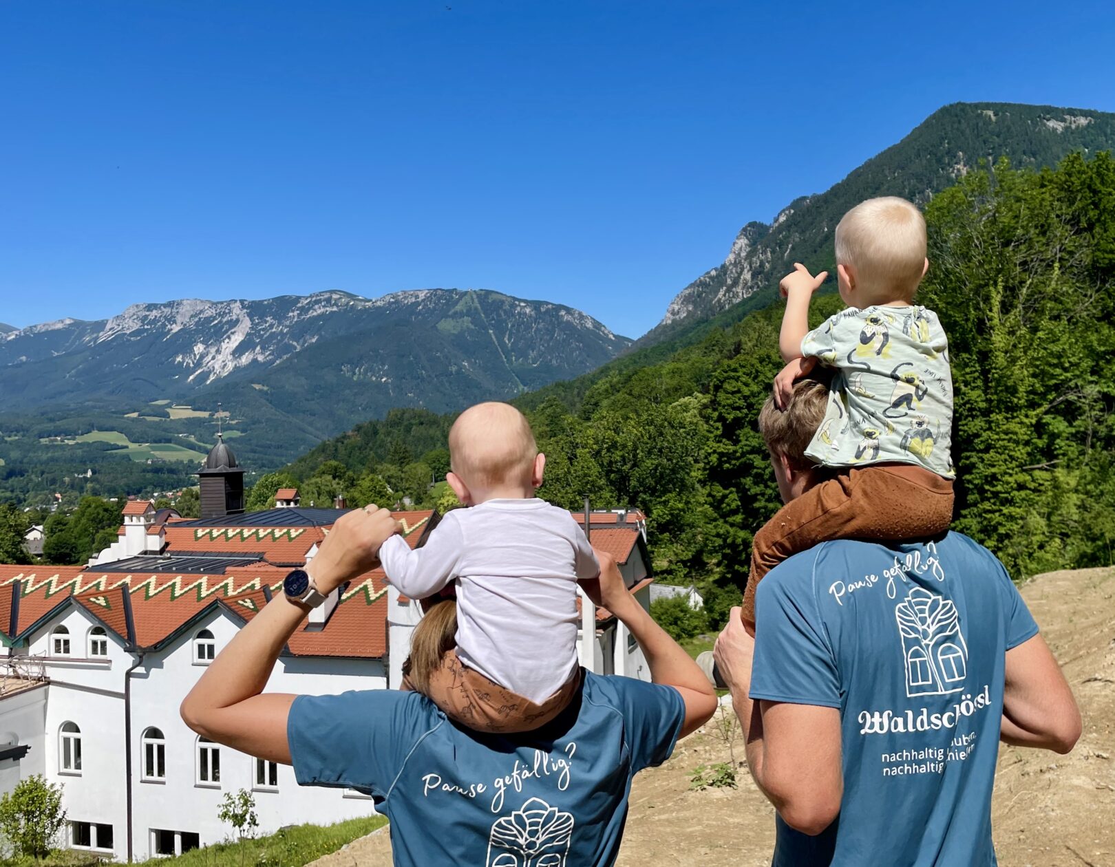
On Sunday, a rare opportunity came up: an hour alone with my husband.
– “We could drive to Looshaus for lunch with my parents,” Christian said, “but we don’t all fit in the car.”
– “It’s just 5 km,” I replied. “Maybe a few hills. Let’s run.”